Skip to main content


법적 고지
Credits & Data Sources
Sources and licenses for the map, elevation, and public data used by Ollaga.
Data sources10
© OpenStreetMap contributors
Base map data · routing · national park areas · ODbL 1.0
Copernicus DSM 30m — © European Space Agency
Elevation & hillshade · Copernicus Data Licence
© Korea Tourism Organization (TourAPI)
Nearby attractions, lodging & dining · some mountain hero photos · No usage restriction / Photos: KOGL Type 1 & Type 3 (no derivatives)
Statistics Korea SGIS administrative boundaries · modified by vuski/admdongkor
Weather-warning regions (province boundaries) · CC BY 4.0 · KOGL Type 1
© Esri
Satellite imagery · Esri Terms of Use
이미지 크레딧
Wikimedia Commons21
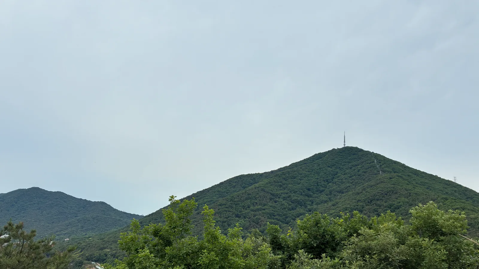
저작자 · Jjw


월출산
저작자 · No machine-readable author provided. Fbjon assumed (based on copyright claims).


